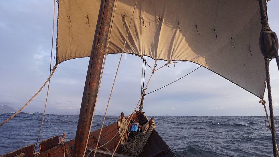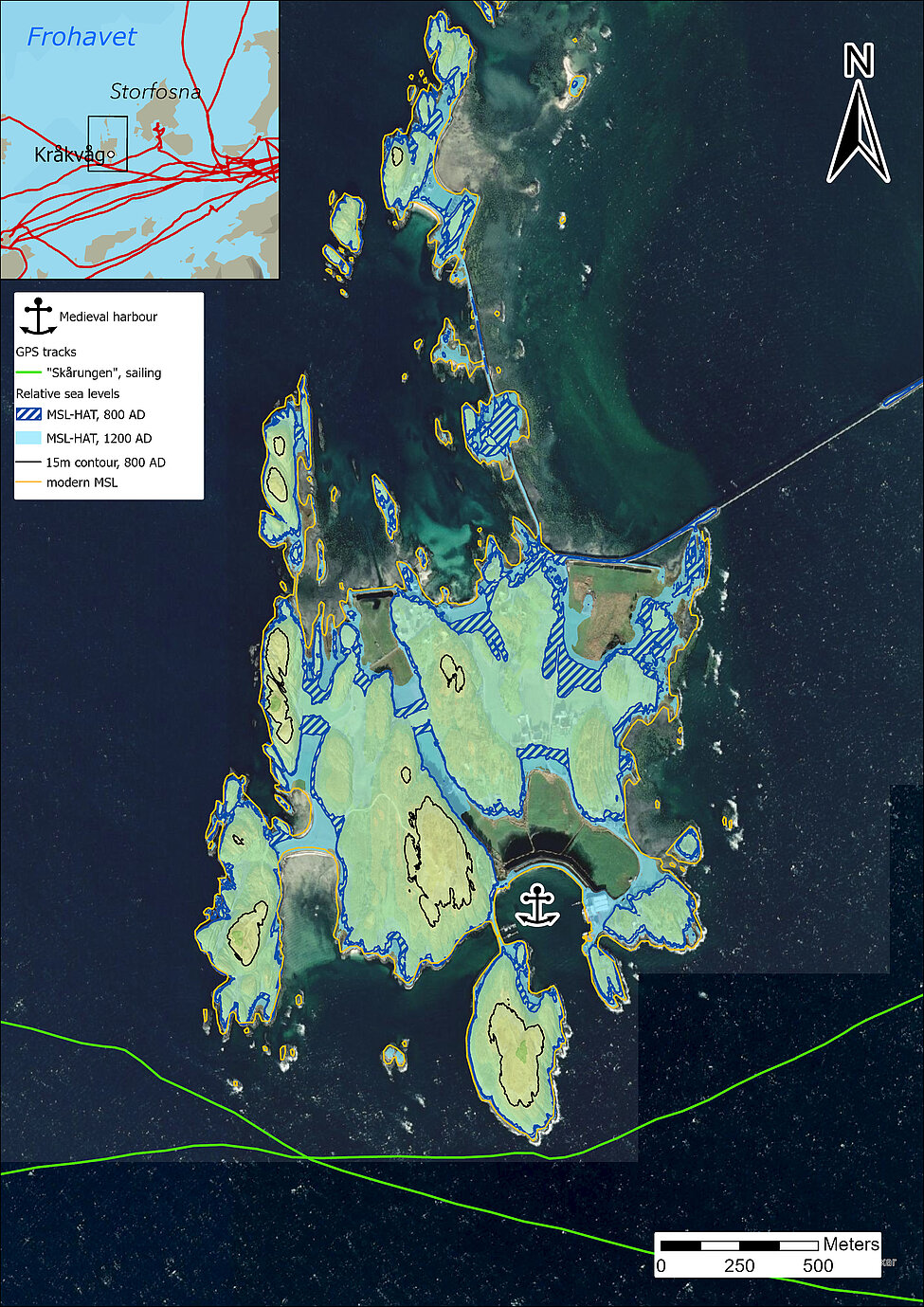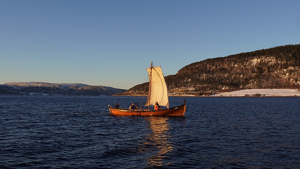
During these voyages he collected quantitative and qualitative data which were used to develop criteria for identifying possible anchorages and landing sites throughout the seascapes under study. The experimental data were complemented by digital reconstructions of Viking Age sea-levels (which due to isostatic rebound, were significantly higher than today), highlighting differences in potential routes and harbours between then and now. The experimental trials highlight the outstanding sailing capabilities of these vessels, indicating that certain routes and passages may have been more frequented than previously assumed. The sea-level reconstructions show that several of the harbours mentioned in the medieval sagas did not, in fact, exist in the Viking Age, pointing to the use of other havens which fell into disuse after the Viking Age. The combination of these approaches points to the decentralised nature of Viking Age seafaring networks, with seemingly remote headlands and islands playing a central role. These results challenge land-based approaches prevalent in modern research, and illustrate the potential of combining digital and experimental data in our study of ancient peoples.
Read the full article here: https://rdcu.be/elhGs